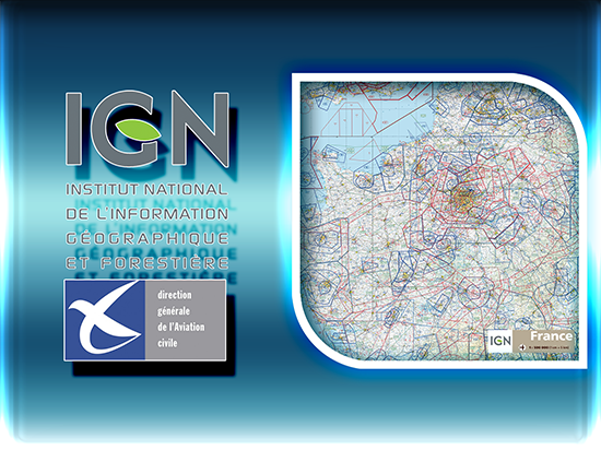
The OACI chart published by IGN is a 1:500,000 scale aeronautical map designed for VFR (visual flight rules) navigation. It provides essential information on airspace structure, airfields, obstacles, and topography to ensure safe light aircraft operations.


